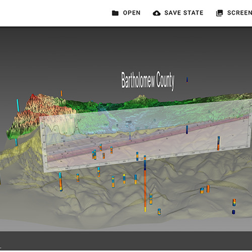
IGWS Bartholomew County Geology interactive 3D webpage
Description
Working with the Indiana Geological and Water Survey (IGWS), the AVL produced an interactive 3D web page highlighting the geology of Bartholomew County Indiana. The visualization includes surface terrain, bedrock terrain, a cut through showing the various geological layers under the county, and several well logs from which the underlying geology is determined. ParaView's Glance web viewer is used to make a smooth transition from desktop to Web3D.
Staff
William Sherman (past staff member)
End Date
Feb 2020
